Legend
Base Layer
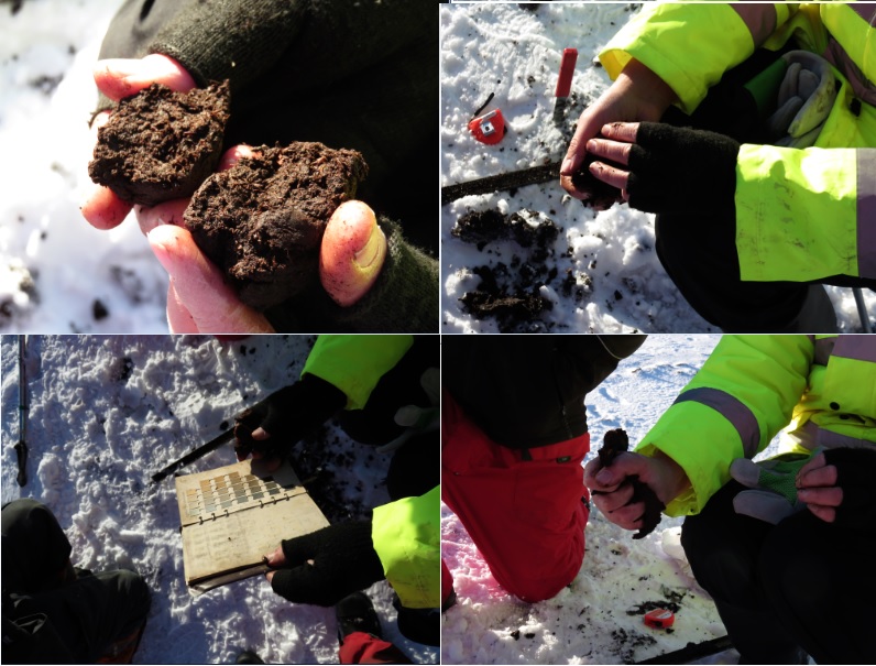
- Title
- Falkland Islands soil mapping
- Description
- The project is a Darwin Initiative Plus project funded by the UK Government
- Organization
- SAERI
- Person
- Stefanie Carter
- Projection
- EPSG:32721
- Extent
- 166135.48058901840704493, 4157404.74762657098472118, 506903.68096903176046908, 4373842.03349712304770947
- Web Map Service
- WMS Url
- WMTS Url
Locating
Measures
Permalink
Scale