Stanley Fencelines
-
Stanley Fencelines
Abstract :
Projection : EPSG:32721
Bounding Box : 425356.13170058106, 4264889.943484683, 450960.8765411322, 4280063.762071399Stanley Fencelines
×Stanley Fencelines

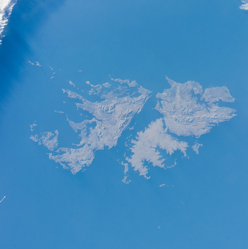
Falkland Islands Topographical Map
-
Falkland Islands Farms Topographical Map
Abstract : This is a WebGIS tool to help the Royal Falkland Islands Police with any search and rescue...
Projection : EPSG:32721
Bounding Box : -31424.18652403709711507, 4186553.20182850863784552, 675804.56486297398805618, 4314878.67909401189535856Falkland Islands Farms Topographical Map
×Falkland Islands Farms Topographical Map
- Illustration
- Title
- Falkland Islands Farms Topographical Map
- Abstract
- This is a WebGIS tool to help the Royal Falkland Islands Police with any search and rescue operations.
There is also a physical print out with details of the land owners to provide contact details. - Projection
- EPSG:32721
- Bounding Box
- -31424.18652403709711507, 4186553.20182850863784552, 675804.56486297398805618, 4314878.67909401189535856
- Web Map Service
- WMS Url
- WMTS Url

Darwin Plus 0139
-
Darwin Plus 139
Abstract :
Projection : EPSG:3857
Bounding Box : -9084682.342052702, -8142506.157503663, -4477935.397104818, -5486036.751570249Darwin Plus 139
×Darwin Plus 139

Wetlands
-
DPLUS116 Wetlands
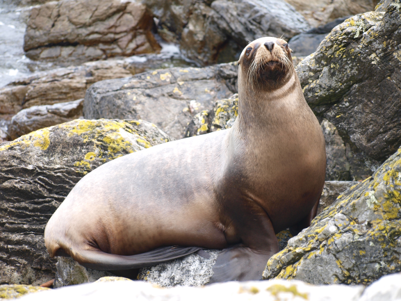
Abstract : The Falkland Islands historically lacked herbivorous mammals. The introduction of grazing animals...
Projection : EPSG:32721
Bounding Box : 162464.67102619843, 4072300.007734125, 473965.6165716334, 4407882.073758135DPLUS116 Wetlands
×DPLUS116 Wetlands
- Illustration
- Title
- DPLUS116 Wetlands
- Abstract
- The Falkland Islands historically lacked herbivorous mammals. The introduction of grazing animals has led to vegetation changes and soil erosion but the impact of these changes on wetland and other aquatic habitats is not well understood. Climate change also presents several threats to the wetlands of the FI. A predicted temperature rise could directly impact on aquatic biota and increase evapotranspiration rates, which could reduce freshwater availability and lead to the loss of some habitats and associated species. Changes in the magnitude or temporal distribution of precipitation could similarly impact the hydrological regimes of wetlands. Increased storm frequency or severity, is likely to change water quality (through increased deposition of salts) and may alter the hydro-morphology of drainage systems and wetlands.
In order to address these issues the DPLUS116 Wetlands Project intends to fulfil the following objectives:
1. Collate baseline data and identify gaps in collated data
2. Fill the gaps in baseline data through fieldwork
3. Produce action plans and develop indicators for long-term monitoring
This WebGIS (last updated April 2022) contains data from previous research as well as the data from the second fieldwork season (January to March 2022. - Projection
- EPSG:32721
- Bounding Box
- 162464.67102619843, 4072300.007734125, 473965.6165716334, 4407882.073758135
- Web Map Service
- WMS Url
- WMTS Url

Darwin Plus 168
-
Darwin Plus 168
Abstract :
Projection : EPSG:3857
Bounding Box : -7983330.388462315, -7655742.170806294, -5726271.392490375, -6005485.593369953Darwin Plus 168
×Darwin Plus 168
Walvis Ridge
-
Walvis Ridge Rigorous Environmental and Social Baseline
Abstract :
Projection : EPSG:4326
Bounding Box : -50, -50, 50, 20Walvis Ridge Rigorous Environmental and Social Baseline
×Walvis Ridge Rigorous Environmental and Social Baseline

Marine Spatial Data of the Falkland Islands
-
Marine Spatial Data of the Falkland Islands
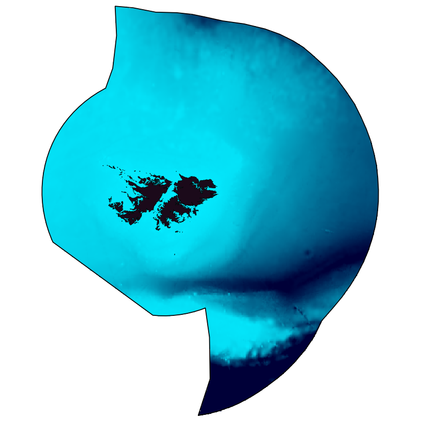
Abstract : This is a WebGIS tool comprising various marine spatial data for the Falkland Islands. The aim of...
Projection : EPSG:32721
Bounding Box : -587335.1729181946720928, 3741779.87008078023791313, 1227344.0479181946720928, 4733305.62991921976208687Marine Spatial Data of the Falkland Islands
×Marine Spatial Data of the Falkland Islands
- Illustration
- Title
- Marine Spatial Data of the Falkland Islands
- Abstract
- This is a WebGIS tool comprising various marine spatial data for the Falkland Islands. The aim of this service is to provide marine spatial data for end users in order to help on the initial stages of planning or just to inform interested parties. It allows users to display and explore the various layers at different scales and also to overlap different types of data such as environmental values and human activities. The tool comprises data collected by the Marine Spatial Planning (MSP I; DPLUS027), MSPII and Marine Management Areas (DPLUS071) projects.
- Projection
- EPSG:32721
- Bounding Box
- -587335.1729181946720928, 3741779.87008078023791313, 1227344.0479181946720928, 4733305.62991921976208687
Falkland Islands Soil Mapping
-
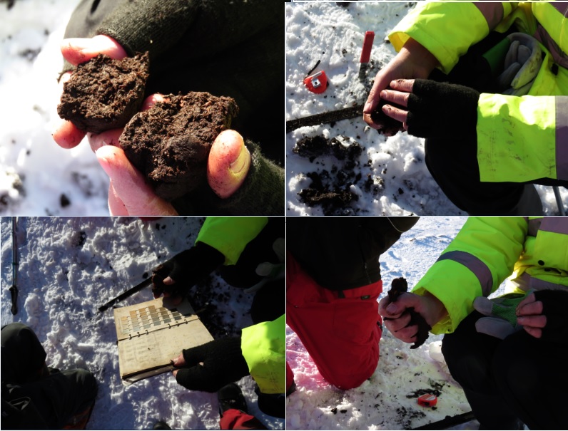
Falkland Islands soil mapping
Abstract : The project is a Darwin Initiative Plus project funded by the UK Government
Projection : EPSG:32721
Bounding Box : 166135.48058902, 4157404.7476266, 506903.68096903, 4373842.0334971Falkland Islands soil mapping
×Falkland Islands soil mapping
NaturalCapital
-
Falkland Islands Natural Capital Assessment
Abstract : Information section: These maps provide a baseline for any future spatial planning or natural...
Projection : EPSG:32721
Bounding Box : 165347.23024099, 4133029.6254999, 474909.73055675, 4348400.4590529Falkland Islands Natural Capital Assessment
×Falkland Islands Natural Capital Assessment
- Illustration
- Title
- Falkland Islands Natural Capital Assessment
- Abstract
- Information section: These maps provide a baseline for any future spatial planning or natural capital assessments on the Falkland Islands. They were created as part of the South Atlantic Natural Capital project, being implemented by the UK Joint Nature Conservation Committee and conducted by the South Atlantic Environmental Research Institute (SAERI) in the UK South Atlantic Overseas Territories. It was funded by the Foreign and Commonwealth Office managed Conflict, Stability and Security Fund (CSSF). All project outputs can be found at the dedicated JNCC webpage
- Projection
- EPSG:32721
- Bounding Box
- 165347.23024099, 4133029.6254999, 474909.73055675, 4348400.4590529
Habitat Maps
-
Coastal Habitat Mapping of the Falkland Islands
Abstract : Historically, and to this day, the coastal and inshore marine ecosystems and resources have...
Projection : EPSG:32721
Bounding Box : 172806.01105439, 4131759.5476021, 477870.59469889, 4366180.3811746Coastal Habitat Mapping of the Falkland Islands
×Coastal Habitat Mapping of the Falkland Islands
- Illustration
- Title
- Coastal Habitat Mapping of the Falkland Islands
- Abstract
- Historically, and to this day, the coastal and inshore marine ecosystems and resources have played an important role in the Falkland Islands. Knowledge of these coastal environments is essential for their management, yet comprehensive island-wide broad scale and fine scale coastal habitat maps are lacking. Such maps could form an important baseline from which to measure future change.
The DPLUS065 Coastal Habitat Mapping project aimed to fill this critical gap in coastal knowledge. The three-year project, concluding in March 2020, was grant aided by the Darwin Initiative through UK Government funding. The project utilised medium resolution satellite imagery, other geospatial data and local expert knowledge to develop broad scale coastal margin (terrestrial, intertidal and subtidal) habitat maps for the Falkland Islands. Where there was significant uncertainty in these broad scale maps, or in response to specific priorities from stakeholders, higher resolution habitat maps utilising very high-resolution satellite imagery or bespoke imagery captured using aerial drones were developed. The resultant habitat maps create an essential baseline, providing a basis for use in future planning, decision-making and monitoring.
The project brought together experts from SAERI, Oregon State University, the UK Joint Nature Conservation Committee, Shallow Marine Surveys Group, Falkland Islands Government and Government of South Georgia & the South Sandwich Islands, representing the leading edge in remote sensing, ecological knowledge and field expertise.
This webGIS presents some of the spatial outputs from the project, including:
1. a digital map of 1956 aerial imagery
2. a broad scale habitat map for the Falkland Islands
3. fine scale coastal habitat maps in locations of interest to stakeholders
4. aerial imagery captured by drone
- Projection
- EPSG:32721
- Bounding Box
- 172806.01105439, 4131759.5476021, 477870.59469889, 4366180.3811746
- Web Map Service
- WMS Url
- WMTS Url
Falkland Islands Wildlife Disease
-
Falkland Islands Wildlife Disease - JNCC
Abstract : The main aim of the Darwin CV19RR02 project was to enhance the capacity of the Falkland Islands...
Projection : EPSG:32721
Bounding Box : 73023.19520559805, 4097975.9718950507, 553975.1020176335, 4376116.833665866Falkland Islands Wildlife Disease - JNCC
×Falkland Islands Wildlife Disease - JNCC
- Illustration
- Title
- Falkland Islands Wildlife Disease - JNCC
- Abstract
- The main aim of the Darwin CV19RR02 project was to enhance the capacity of the Falkland Islands to monitor for wildlife disease. This was achieved through the procurement of equipment for a laboratory. The project also aimed to create a database where reports of wildlife disease outbreaks could be appropriately stored and made accessible. To achieve this, we collated reports pertaining to wildlife disease outbreaks in the Falkland Islands and created a webGIS page via the Falkland Islands IMS-GIS data centre. It is hoped that the Falkland Islands Wildlife Disease Monitoring Group will oversee this Wildlife Disease webGIS page.
- Projection
- EPSG:32721
- Bounding Box
- 73023.19520559805, 4097975.9718950507, 553975.1020176335, 4376116.833665866