Legend
Base Layer
- Title
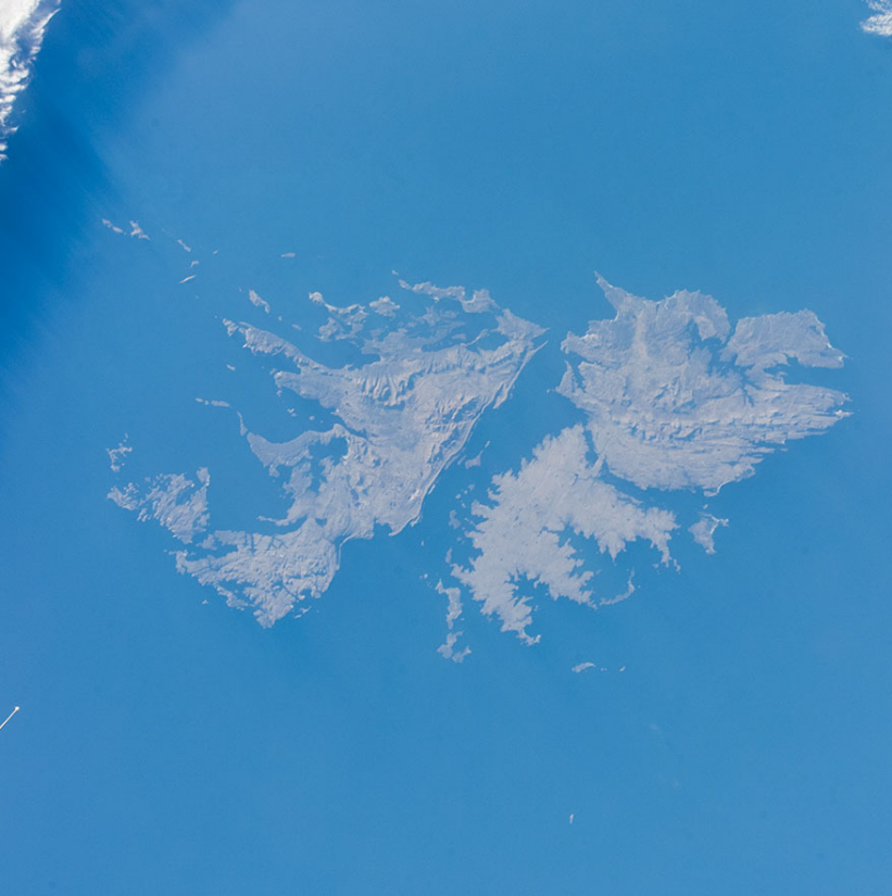
- Falkand Islands Natural Capital Assessment
- Description
- Information section: These maps provide a baseline for any future spatial planning or natural capital assessments on the Falkland Islands. They were created as part of the South Atlantic Natural Capital project, being implemented by the UK Joint Nature Conservation Committee and conducted by the South Atlantic Environmental Research Institute (SAERI) in the UK South Atlantic Overseas Territories. It was funded by the Foreign and Commonwealth Office managed Conflict, Stability and Security Fund (CSSF). All project outputs can be found at the dedicated JNCC webpage
- Organization
- SAERI
- Person
- Ness Smith
- nessiesmith (at) hotmail.com
- Projection
- EPSG:32721
- Extent
- 165347.23024099174654111, 4133029.6254998710937798, 474909.7305567454895936, 4348400.45905288308858871
Measures
Permalink
Scale